
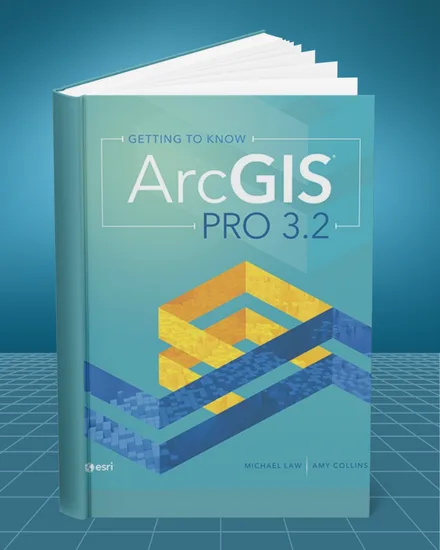
 1st editionPDF
Getting to Know ArcGIS Pro 3.2 1st edition (first edition)
- Format
- Searchable PDF
- Version
- Digital enhanced version
- Delivery
- Instant access
$29.90 USD
Buy PDF ↗Before you buy
This is an eBook/PDF product only. No physical book will be shipped.
Please confirm the book title and edition before completing your purchase.
Your PDF download link will be sent to the email address used at checkout, immediately.
About this book
Getting to Know ArcGIS Pro 3.2 1st edition by Michael Law and Amy Collins introduces the core tools, workflows, and interface used in Esri's ArcGIS Pro environment. The book guides students through practical GIS tasks, showing how to organize projects, work with spatial data, create maps, edit features, run analyses, and prepare finished geographic products using the same desktop platform widely used in professional GIS work.
The book covers ArcGIS Pro projects, maps and scenes, layers, symbology, attribute tables, selections, queries, coordinate systems, geodatabases, editing, geoprocessing, spatial analysis, map layouts, labeling, and data visualization. Step by step exercises reinforce how individual tools fit together, helping students move from basic navigation to more complete workflows involving data preparation, analysis, and presentation.
This book is especially useful for GIS Students, Geography Students, Environmental Science Students, Urban Planning Students, Geospatial Technology Students, Natural Resource Students, Civil and Environmental Engineering Students, and professionals beginning work with ArcGIS Pro. It is particularly relevant for courses that require hands on practice with mapping, geodatabases, spatial analysis, and geoprocessing rather than theory alone.
GIS students, geospatial trainees, planners, environmental students, and professionals transitioning to ArcGIS Pro can use this edition to practice common desktop GIS procedures, organize spatial data, build maps, perform analysis, and create presentation ready layouts. The ArcGIS Pro 3.2 edition is available as a searchable PDF enhanced digital version with instant access, so you can begin studying immediately for GIS coursework, lab assignments, mapping projects, or professional software training.